Drought Monitor

Maps for monitoring current drought conditions through a set of relevant drought indicators.

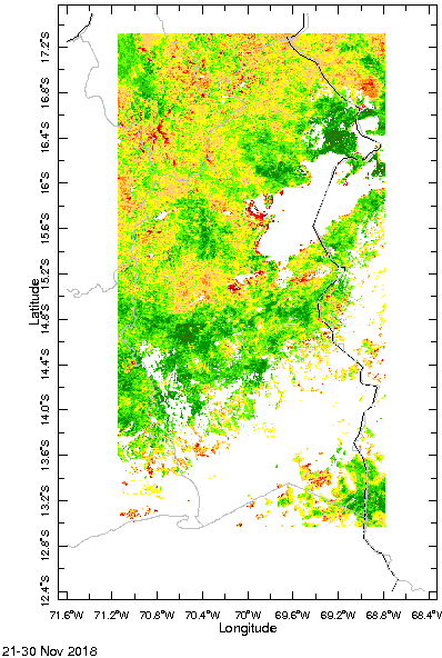
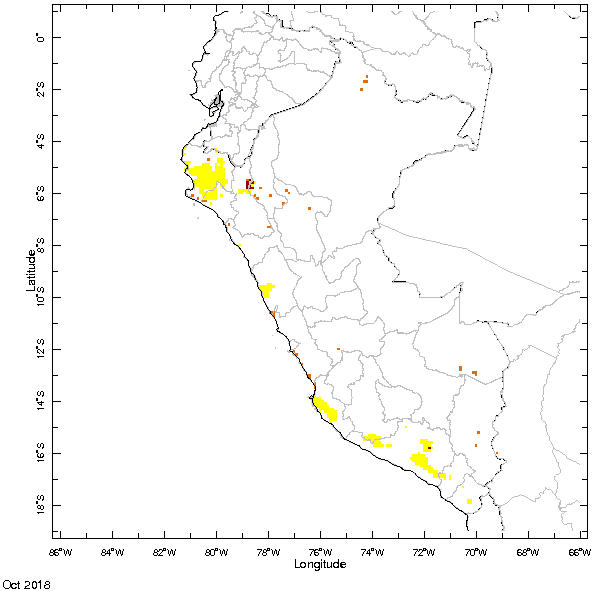
The indicators were selected to show conditions with respect to meteorological, hydrological and agricultural drought, as well as their combined effect.

Meteorological Drought
This map can be used to identify the Dry Days Numbers for each month. It shows the Dry Days Numbers.
Este mapa muestra la precipitación observada en las estaciones meteorológicas del METEONET del Perú (ANA). Las observaciones tienen la unidad [mm/mes].
Information on the precipitation observed at the automatic SENAMHI stations is available here.
This map can be used to identify the intensity of drought or excess of rainfall for each month. It shows the Standardized Precipitation Index (SPI).
Sequía Hidrológica
Esta información es recopilada por parte del METEONET del ANA.
Este mapa muestra los volúmenes de embalses observados en las cuencas principales del Perú.
Agricultural Drought
This map shows the actual situation of the vegetation in the Departament of Puno, as reflected by the the Agricultural Stress Index (ASI).
This map shows the actual situation of the vegetation as reflected by the Normalized Difference Vegetation Index (NDVI).
This map shows the actual situation of the vegetation in the Departament of Puno, as reflected by the Vegetation Health Index (VHI).
This map shows the actual situation of the vegetation in the Departament of Puno, as reflected by the category of agricultural drought.
Combined Drought Index
This map shows the Combined Drought Index (CDI). This variable shows actual drought conditions for Peru.